- Ski.com Home
- Blog
- We've Got Our First Winter Storm Warning And It's Only September!
We've Got Our First Winter Storm Warning And It's Only September!

 Labor Day in Jackson Hole
The snow is upon us and on Labor Day, Banff, Glacier National Park, and Jackson Hole checked the webcams to find the first significant accumulations of the 20-21 snow season.
Related: 5 Ski Resorts With Reliable Early Season Snow
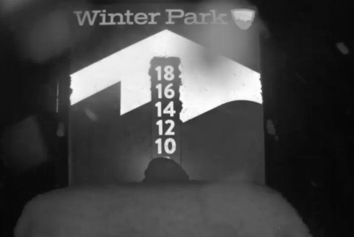
That snow train is continuing south and starting tonight, a system that originated in northwestern Canada will begin delivering big time snowfall totals to the mountains of northern and central Colorado. A Winter Storm Warning is currently in effect for the high peaks east of the Continental Divide with Rocky Mountain National Park and Winter Park forecasted to receive upwards of 14" of fresh snow, and remember, it's only September. Other ski resorts, such as Breckenridge, Steamboat Resort, and Vail could see between 4-8" above 9,000 feet.
"Drastic change to WINTER starts tonight! Cold front blasts thru this eve with strong winds. Rain changes to snow over most of plains by Tuesday. Accumulations may result in broken tree limbs & power outages. Prepare now, for this sharp change from summer to winter!" - NWS Boulder
Winter Park Resort Forecast:

Winter Storm Warning [NOAA]
...BIG CHANGES IN THE WEATHER COMING TO NORTHERN COLORADO TONIGHT...
Winter will make an early arrival in northern Colorado tonight and Tuesday as a strong cold front from central Canada will bring much colder temperatures as well as accumulating snow to the region. Temperatures will drop quickly behind a cold front this evening with snow starting shortly after midnight over the higher mountains and foothills. Snow levels are expected to drop through Tuesday morning, with accumulating snow expected along the Front Range, I-25 corridor, and adjacent plains. Snow falling on trees that are still in full leaf may cause branches and limbs to break, resulting in scattered power outages. Roadways could become slippery and slushy in the mountains and foothills. The weather system is expected to weaken Wednesday with snowfall coming to an end and conditions improving through the day.
https://twitter.com/NWSBoulder/status/1303098310987743235
...WINTER STORM WARNING REMAINS IN EFFECT FROM MIDNIGHT TONIGHT TO NOON MDT WEDNESDAY...
* WHAT...Heavy snow expected. Total snow accumulations of 9 to 17 inches in the foothills, 6 to 10 inches over the Palmer Divide and Park County, and 2-6 inches in the valleys west of the Front Range. Winds gusting as high as 35 mph.
* WHERE...Portions of central, north central and northeast Colorado.
* WHEN...From midnight tonight to noon MDT Wednesday.
* IMPACTS...Travel could become difficult. The hazardous conditions could impact the morning and evening commutes Tuesday.
* ADDITIONAL DETAILS...Accumulating snow will impact area vegetation causing damage to trees and possible power outages. Roads could be slippery and slushy. Overnight low temperatures Tuesday night will drop into the teens.
Ready to make some ski plans for the 20-21 season? With flexible cancellations via Ski.com's Refundable Ski Vacation Packages - RSVP, our Mountain Travel Experts can make sure you book your winter vacation with confidence. Get a free quote today.
Barclay Idsal
Author
Latest blogs
View AllHow Our Free White (Ski) Glove Service Works:
Reach out to a Ski.com Mountain Travel Expert by phone, chat, or our online form. Share details about your group size, interests, and budget and your Expert will begin to craft your dream ski vacation.
Get a curated proposal with personalized suggestions from your Expert via email. Book directly online or request additions or revisions from your Expert until it’s perfect.
If you have questions, want to add or modify your reservations or need anything assistance, your Expert is always by your side to help before, during and after your trip.
Sign up for our newsletter
Sign up for exclusive offers, news, updates and more.


