- Ski.com Home
- Blog
- 'Two Powerful Weather Systems' To Dump Multiple Feet Of Snow On California, Utah, And Colorado
'Two Powerful Weather Systems' To Dump Multiple Feet Of Snow On California, Utah, And Colorado

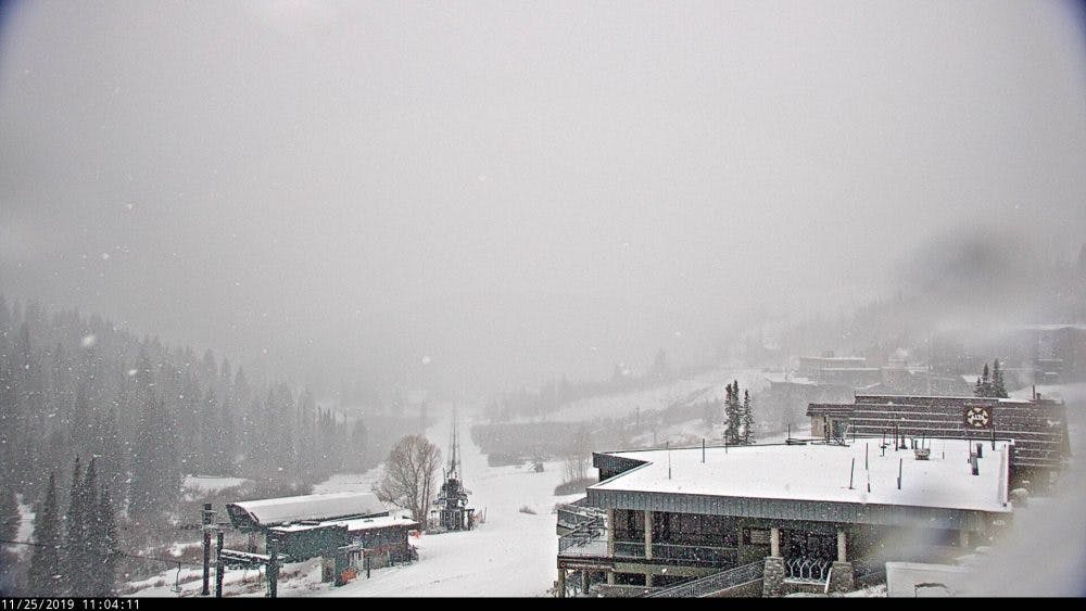 Currently snowing at Alta | Photo Credit: Alta Ski Area | Cover: NOAA
From Tahoe to Colorado, the western USA is about to get clobbered with snow this Thanksgiving holiday.
Starting today, a cold system from the Pacific Northwest will sweep quickly across the Cascades and northern Rockies before arriving in Colorado later this evening. Although snow totals in the mountains of Oregon, Washington, and Idaho will likely remain modest (2-4 inches), the mountains of Utah and Colorado could see upwards of a foot of fresh snow by Tuesday morning.

And that's just the first storm.
The second storm will begin affecting the western USA on Tuesday evening with the high elevation peaks surrounding Lake Tahoe forecasted to get between 1-3 feet of new snow by Thursday morning. Once Tahoe gets that much needed snowfall, it's off to Utah and Colorado again
After a quick break on Tuesday evening, Utah gets back in on the action with snow falling throughout the holiday weekend in the Wasatch. Projected totals are currently falling in the 10-20" range. After Utah, Colorado's western slope and central mountains will see similar accumulations by the end of the weekend.
LET IT SNOW!
 Forecast map for November 28, 2019 | Image: NOAA
PLAN YOUR TRIP TODAY!
Get ready for first chair of the season. Ski.com’s Mountain Travel Experts are here to help you plan and book everything for the perfect ski vacation. Call 800-610-8911 or fill out a brief from to receive a quote in your inbox >>.
It takes 2 minutes.
NOAA Short Range Forecast Discussion:
...Weather becoming increasingly unsettled from the West Coast to the Midwest ...
The overall weather pattern over the continental U.S. is forecast to become increasingly active for the first half of the work week as two major storm systems make weather headlines. The first system will be an amplifying upper level trough over the Rockies and northern Plains that will induce lee-side cyclogenesis over the western High Plains Monday night, and the surface low is forecast to continue deepening as it tracks northeastward across the central Plains and then the Midwest by Tuesday night. The air mass to the north and west of the low will be cold enough to support a broad swath of significant snowfall, extending from the Colorado Rockies to Wisconsin where winter storm watches and warnings are currently in effect. Given the tight pressure gradient with this low pressure system, very windy conditions are likely across much of the Plains, and high wind watches are in effect for the Texas and Oklahoma panhandles, as well as adjacent portions of neighboring states.
An even stronger storm is expected to develop over the eastern Pacific and reach the West Coast by Tuesday night. This low pressure system will likely undergo bombogenesis (pressure drop of at least 24mb in 24 hours) from Monday night to Tuesday night, at which point it could become a 980 mb low with hurricane force winds offshore! It should reach land near the California/Oregon border early Tuesday night and then begin to gradually weaken as it moves inland. The mountains of southern Oregon and northern
California are likely to get hammered with blizzard conditions, and battering surf and high winds for coastal areas. Winter storm watches and warnings are already in effect for many of these areas, and the cold nature of the event will result in lower than usual snow levels. Pre-Thanksgiving travel in this region could be severely affected, and local forecast offices have additional information pertaining to this.
Squaw Valley, CA:
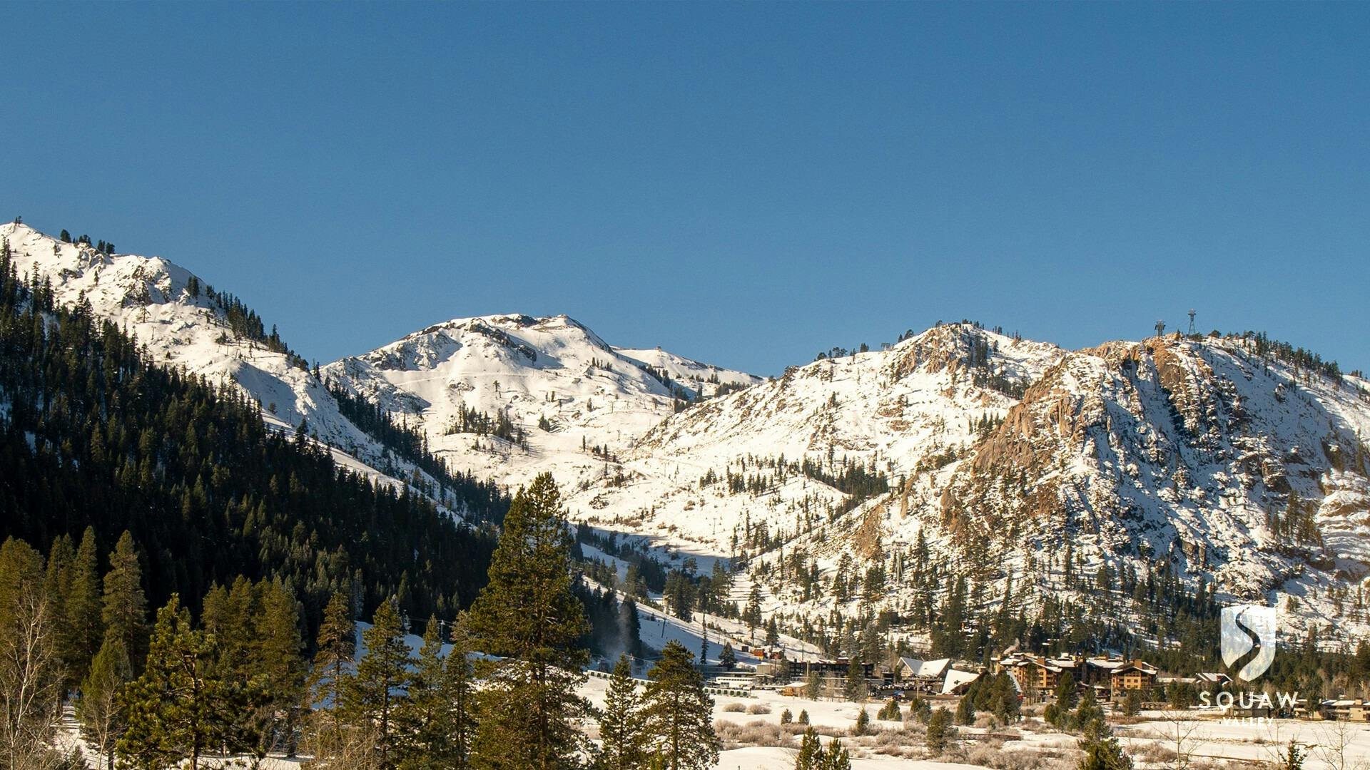
Winter Storm Warning [Lake Tahoe]
...WINTER STORM WARNING IN EFFECT FROM 4 PM TUESDAY TO 4 PM PST THURSDAY...
* CHANGES...Upgraded the Watch to a Winter Storm Warning.
* WHAT...Heavy snow expected. Total snow accumulations of 8 to 18 inches, except 1 to 2 feet above 7000 feet. Localized totals near 3 feet are possible over the multi-day period along the Sierra crest. Winds gusting as high as 60 mph.
* WHERE...Greater Lake Tahoe Area.
* WHEN...From 4 PM Tuesday to 4 PM PST Thursday. The worst conditions will be late Tuesday through midday Wednesday.
* IMPACTS...Travel could be very difficult to impossible. The cold nature of this storm will lead to accumulating snow at all elevations, not just pass levels.
* ADDITIONAL DETAILS...Blowing snow is possible further reducing visibility Tuesday night. This storm is coinciding with one of the busiest travel periods of the year. With heavy snow expected, lengthy travel delays are likely and it could take 2-3 times longer to reach your destination.
Park City, UT:
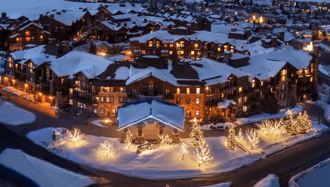
Winter Weather Advisory Warning [Utah]
...WINTER WEATHER ADVISORY REMAINS IN EFFECT UNTIL 4 PM MST TUESDAY...
* WHAT...Snow expected. Total snow accumulations of 7 to 13 inches with locally higher amounts possible.
* WHERE...Wasatch Plateau/Book Cliffs, Western Uinta Mountains, Wasatch Mountains South of I-80, Wasatch Mountains I-80 North and Central Mountains.
* WHEN...Until 4 PM MST Tuesday.
* IMPACTS...Plan on slippery road conditions along all high elevation passes.
* ADDITIONAL DETAILS...Snow will continue to develop across northern Utah this morning, spreading south toward central Utah this afternoon.
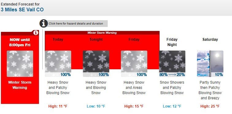
Vail, CO:

Winter Weather Advisory [Colorado]
...WINTER WEATHER ADVISORY REMAINS IN EFFECT FROM 5 PM THIS AFTERNOON TO 5 PM MST TUESDAY...
* WHAT...Snow...moderate to heavy at times...developing by this evening. Total snow accumulations of 9 to 14 inches. Winds gusting as high as 35 mph at times over 9500 feet.
* WHERE...Grand and Battlement Mesas, Gore and Elk Mountains/Central Mountain Valleys and West Elk and Sawatch Mountains.
* WHEN...From 5 PM this afternoon to 5 PM MST Tuesday.
* IMPACTS...Travel will be very difficult at times with icy to snowpacked roads. A detailed map of the snowfall can be found at: www.weather.gov/gjt/winter.
* ADDITIONAL DETAILS...Near whiteout conditions are possible at times with some blowing and drifting of snow likely.
TAGGED: long-range forecast, holiday gift list, Powder, stoke-worthy snow, thanksgiving, weather
Barclay Idsal
Author
Latest blogs
View AllHow Our Free White (Ski) Glove Service Works:
Reach out to a Ski.com Mountain Travel Expert by phone, chat, or our online form. Share details about your group size, interests, and budget and your Expert will begin to craft your dream ski vacation.
Get a curated proposal with personalized suggestions from your Expert via email. Book directly online or request additions or revisions from your Expert until it’s perfect.
If you have questions, want to add or modify your reservations or need anything assistance, your Expert is always by your side to help before, during and after your trip.
Sign up for our newsletter
Sign up for exclusive offers, news, updates and more.

